Map of East Sussex England
Street map East Sussex, England, a southern county situated near to West Sussex and Kent, UK.
East Sussex Road Map Southern England UK
East Sussex Road/Street Map England: Above is a map of the southern English county of East Sussex, sandwiched between West Sussex and Kent (With Surrey to the North). On this East Sussex map, you can see all the main towns and villages of the county. Below you will find links to individual town and village maps.
More East Sussex Street Maps (Towns and Villages With Population 800+): ( A-F | G-K | L-P | R-Z )
This list of East Sussex places is roughly in order of population.
- Street Map of Brighton East Sussex
- Street Map of Eastbourne East Sussex
- Street Map of Hove East Sussex
- Street Map of Hastings East Sussex
- Street Map of Bexhill East Sussex
- Street Map of Seaford East Sussex
- Street Map of Hailsham East Sussex
- Street Map of Ore East Sussex
- Street Map of Crowborough East Sussex
- Street Map of Lewes East Sussex
- Street Map of Peacehaven East Sussex
- Street Map of Uckfield East Sussex
- Street Map of Newhaven East Sussex
- Street Map of Heathfield East Sussex
- Street Map of Polegate East Sussex
- Street Map of Saltdean East Sussex
- Street Map of Telscombe East Sussex
- Street Map of Hollington East Sussex
- Street Map of Battle East Sussex
- Street Map of Jevington East Sussex
- Street Map of Willingdon East Sussex
- Street Map of Sidley East Sussex
- Street Map of Forest Row East Sussex
- Street Map of Wadhurst East Sussex
- Street Map of Ringmer East Sussex
- Street Map of Rye East Sussex
- Street Map of Mayfield East Sussex
- Street Map of Ticehurst East Sussex
- Street Map of Maresfield East Sussex
- Street Map of Buxted East Sussex
- Street Map of Pevensey East Sussex
- Street Map of Pevensey Bay East Sussex
- Street Map of Rotherfield East Sussex
- Street Map of Icklesham East Sussex
- Street Map of Westfield East Sussex
- Street Map of Chailey East Sussex
- Street Map of Withyham East Sussex
- Street Map of Herstmonceux East Sussex
- Street Map of Horam East Sussex
- Street Map of Robertsbridge East Sussex
- Street Map of Rottingdean East Sussex
- Street Map of Burwash East Sussex
- Street Map of Newick East Sussex
- Street Map of Northiam East Sussex
- Street Map of Hartfield East Sussex
- Street Map of Ditchling East Sussex
- Street Map of Wivelsfield East Sussex
- Street Map of Framfield East Sussex
- Street Map of Brede East Sussex
- Street Map of Fairlight East Sussex
- Street Map of Plumpton East Sussex
- Street Map of Plumpton Green East Sussex
- Street Map of Friston East Sussex
- Street Map of East Dean East Sussex
- Street Map of Groombridge East Sussex
- Street Map of Hellingly East Sussex
- Street Map of Barcombe East Sussex
- Street Map of Hurst Green East Sussex
- Street Map of East Hoathly East Sussex
- Street Map of Frant East Sussex
- Street Map of Sedlescombe East Sussex
- Street Map of Guestling East Sussex
- Street Map of Nutley East Sussex
- Street Map of Warbleton East Sussex
- Street Map of Peasmarsh East Sussex
- Street Map of Fletching East Sussex
- Street Map of Beckley East Sussex
- Street Map of Chalvington East Sussex
- Street Map of Ripe East Sussex
- Street Map of Chiddingly East Sussex
- Street Map of Catsfield East Sussex
- Street Map of Crowhurst East Sussex
- Street Map of Kingston near Lewes East Sussex
- Street Map of Alfriston East Sussex
- Street Map of Winchelsea East Sussex
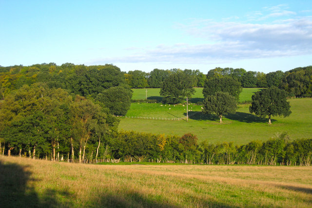
East Sussex Photos courtesy of Commons.Wikimedia


